Severe Thunderstorm Watch

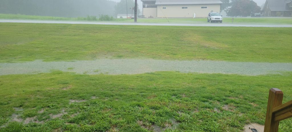
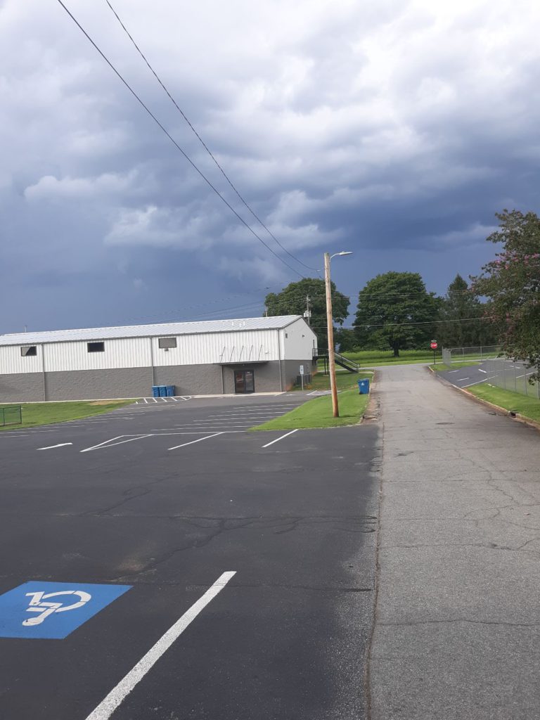
The National Weather Service has issued a severe thunderstorm watch until 10 PM this evening. Please be weather aware, fellow Maiden neighbors! Details below. Photograph shows dark clouds rolling in.

SEVERE THUNDERSTORM WATCH OUTLINE

SEVERE THUNDERSTORM WATCH 635 IS IN EFFECT UNTIL 1000 PM EDT
FOR THE FOLLOWING LOCATIONS

NC
NORTH CAROLINA COUNTIES INCLUDED ARE

ALAMANCE ALEXANDER ANSON
CABARRUS CASWELL CATAWBA
CHATHAM CLEVELAND CUMBERLAND
DAVIDSON DAVIE DURHAM
EDGECOMBE FORSYTH FRANKLIN
GASTON GRANVILLE GUILFORD
HALIFAX HARNETT HOKE
IREDELL JOHNSTON LEE
LINCOLN MECKLENBURG MONTGOMERY
MOORE NASH NORTHAMPTON
ORANGE PERSON RANDOLPH
RICHMOND ROCKINGHAM ROWAN
SAMPSON SCOTLAND STANLY
STOKES UNION VANCE
WAKE WARREN WAYNE
WILSON YADKIN

Image by Leszek Leszczy

Flash Flooding in Maiden NC After Storm

Tonight’s thunderstorm inundated the Town of Maiden with 4 inches of rain, according to our sources on the ground. The storm hit hard and fast, raising creek levels and turning much of our local area into a waterlogged, muddy mess.

play-sharp-fill

Video courtesy of Danny Hipps

Residents are advised to be aware of local flash flooding. Please pay attention when driving or walking near local water sources or areas of flat ground.

Flash Flooding in Maiden NC After Storm

Photo courtesy of Danny Hipps

Flash Flooding in Maiden NC After Storm

Photo courtesy of Linda Cinque Holmes

The National Weather Advisory Service has issued a flood advisory. Please be aware that floods continue to be a hazard well after a storm has passed.

FLOOD ADVISORY IN EFFECT UNTIL 1015 PM EDT THIS EVENING…

  • WHAT…Flooding caused by excessive rainfall is expected.
  • WHERE…A portion of Piedmont North Carolina, including the following counties, Catawba and Lincoln.
  • WHEN…Until 1015 PM EDT.
  • IMPACTS…Minor flooding in low-lying and poor drainage areas.
  • ADDITIONAL DETAILS… – At 613 PM EDT, Doppler radar and automated rain gauges indicated heavy rain due to thunderstorms. Minor flooding is ongoing or expected to begin shortly in the advisory area. Between 2 and 4 inches of rain have fallen. – Some locations that will experience flooding include… Newton, Maiden, Westport, Denver, Lake Norman, Sherrills Ford, Startown, Terrell and Propst. – http://www.weather.gov/safety/flood

PRECAUTIONARY/PREPAREDNESS ACTIONS…

When it is safe to do so, please report flooding or landslides threatening roads or property to the National Weather Service Greenville-Spartanburg by calling toll free, 1, 800, 2 6 7, 8 1 0 1, by posting on our Facebook page, or via Twitter using hashtag NWSGSP. Your message should describe the specific location where impacts occurred and the depth of flooding observed.

Turn around, don’t drown when encountering flooded roads. Most flood deaths occur in vehicles.

(Edited to correct capitalization of names.)